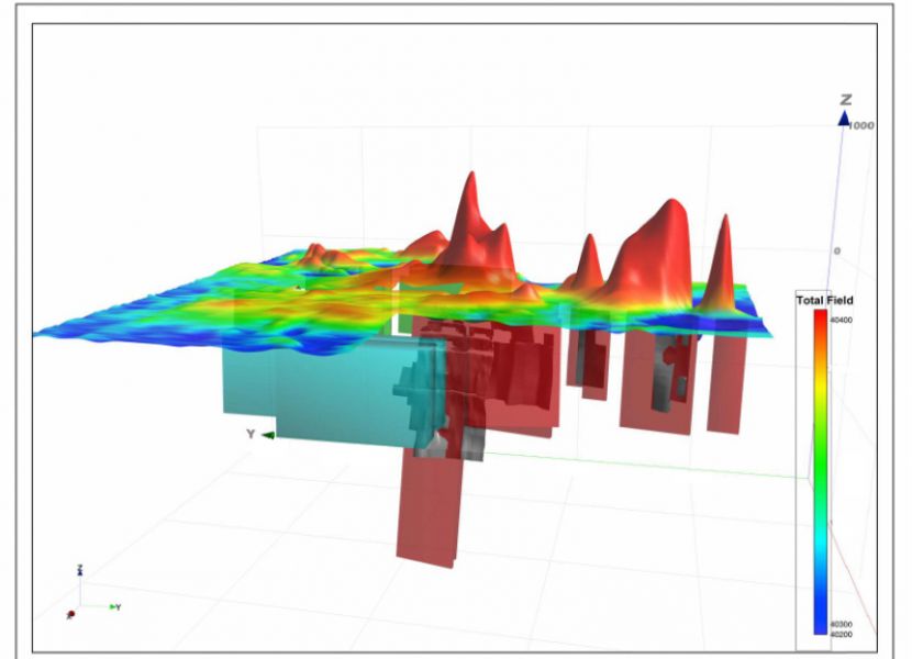
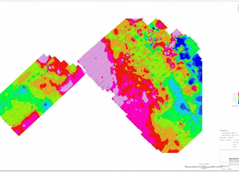
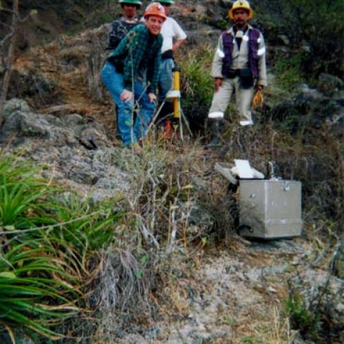
Magnetic
Used as a basic geophysical tool, this method enables to measure the magnetic susceptibility contrasts of rock formation and thus to trace the geologic image of a sector.
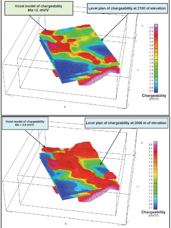
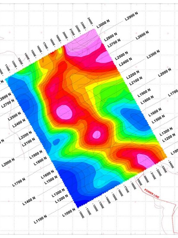
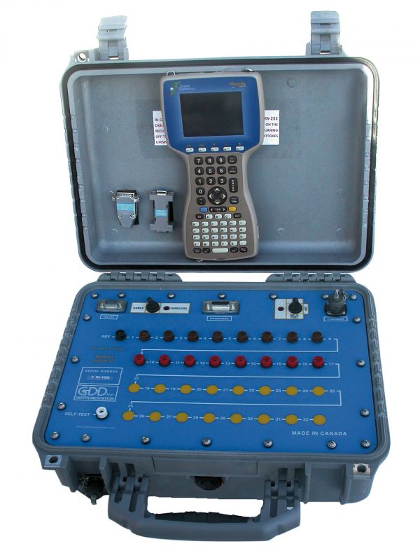
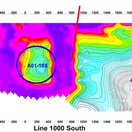
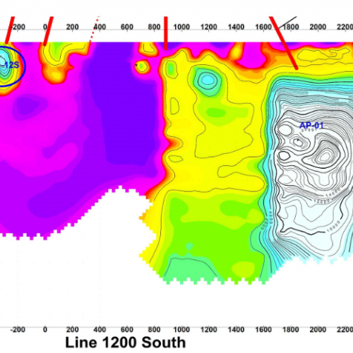
Induced Polarization (IP)
It is especially efficient for the detection of disseminated mineralization through the use of spacing and variable electrode arrangements. The various configurations enable us to conduct surveys more than 500 meters underground. This method also permits to highlight rock resistivity contrasts (silicified zone, shearing zone, etc).
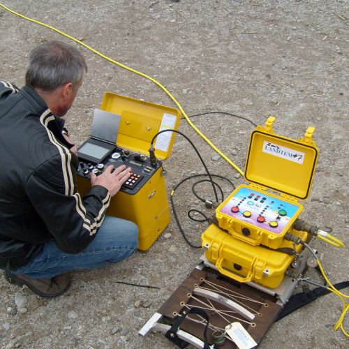
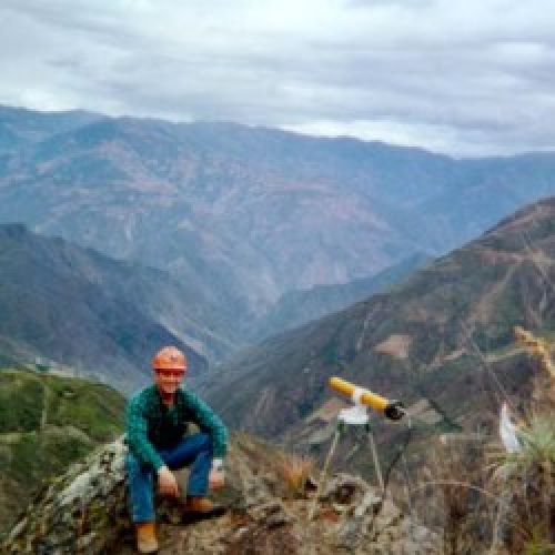
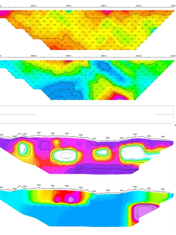
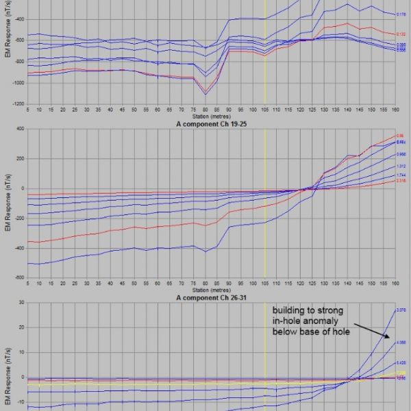
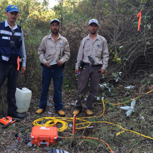
Surface TDEM (DeepEM)
Operating in the field of time and using large transmitter loops fed by a powerful transmitter (4 kW), this deep-investigation method enables to detect conductors buried as deep as 300 to 400 m, depending on the configuration used and the dimension of desired targets.
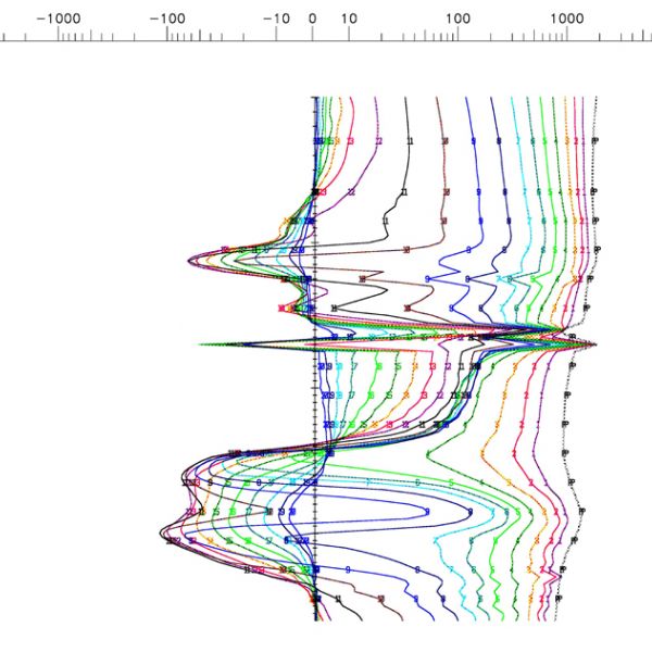
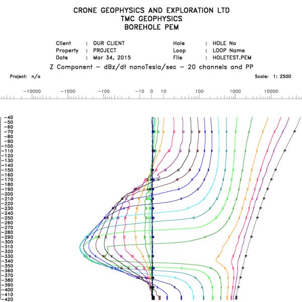

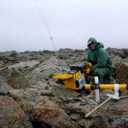
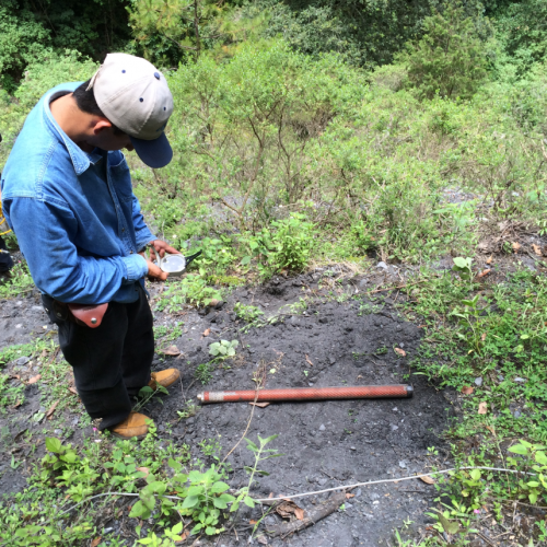
Borehole TDEM (Pulse EM)
It allows determining the presence of mineralized conductive zones around a drill hole within a radius which can reach 200 m, regardless of the drill-hole depth. This method makes the cost of drilling profitable through the provided information and by permitting to increase the drill grid.
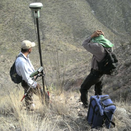
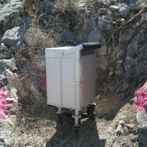
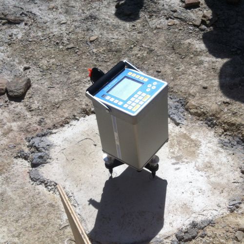
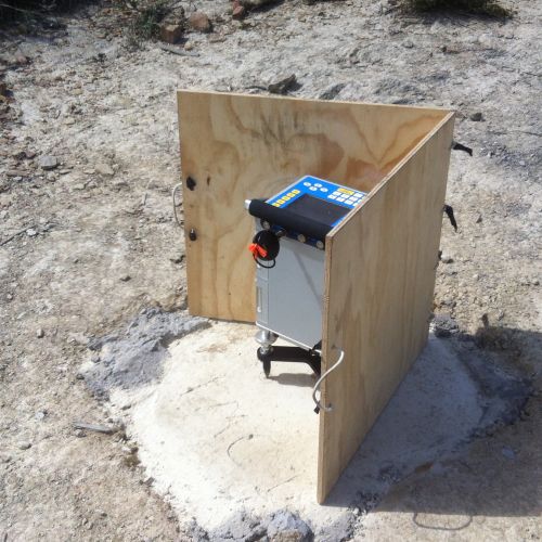
Gravimetry
Measurements of the gravitational field in a series of different locations on an area of interest. The objective of exploration works is to associate variations with differences in the distribution of densities, and hence rock types. The gravity measurements provide information about the densities of underground rock. There is a wide range of density between types of rocks, therefore geologists can make inferences about the distribution of strata.
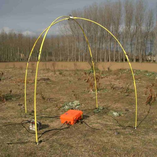
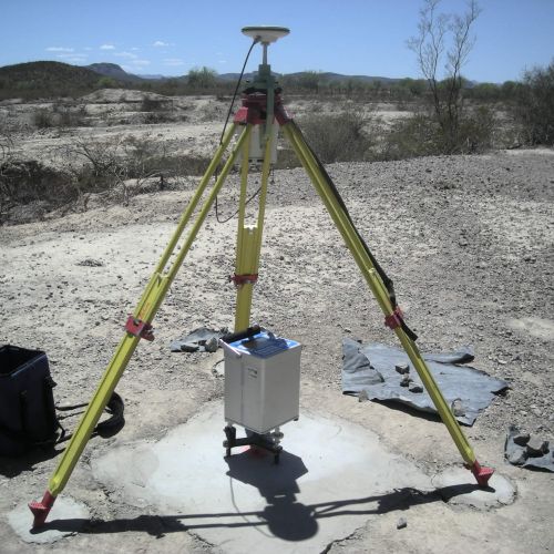
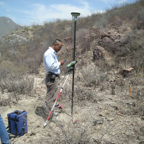
Magnetotellurics (HSAMT)
Geophysical technique that provides information about the distribution of electrical conductivities of underground rocks. This is a method of electromagnetic exploration where electric currents, of natural and artificial origin, continuously scour the basement. Their variations induce magnetic fields which can be detected on the surface. The magnetotellurics are particularly suitable for search of metal ores and study of geothermal sites and hydrocarbons.