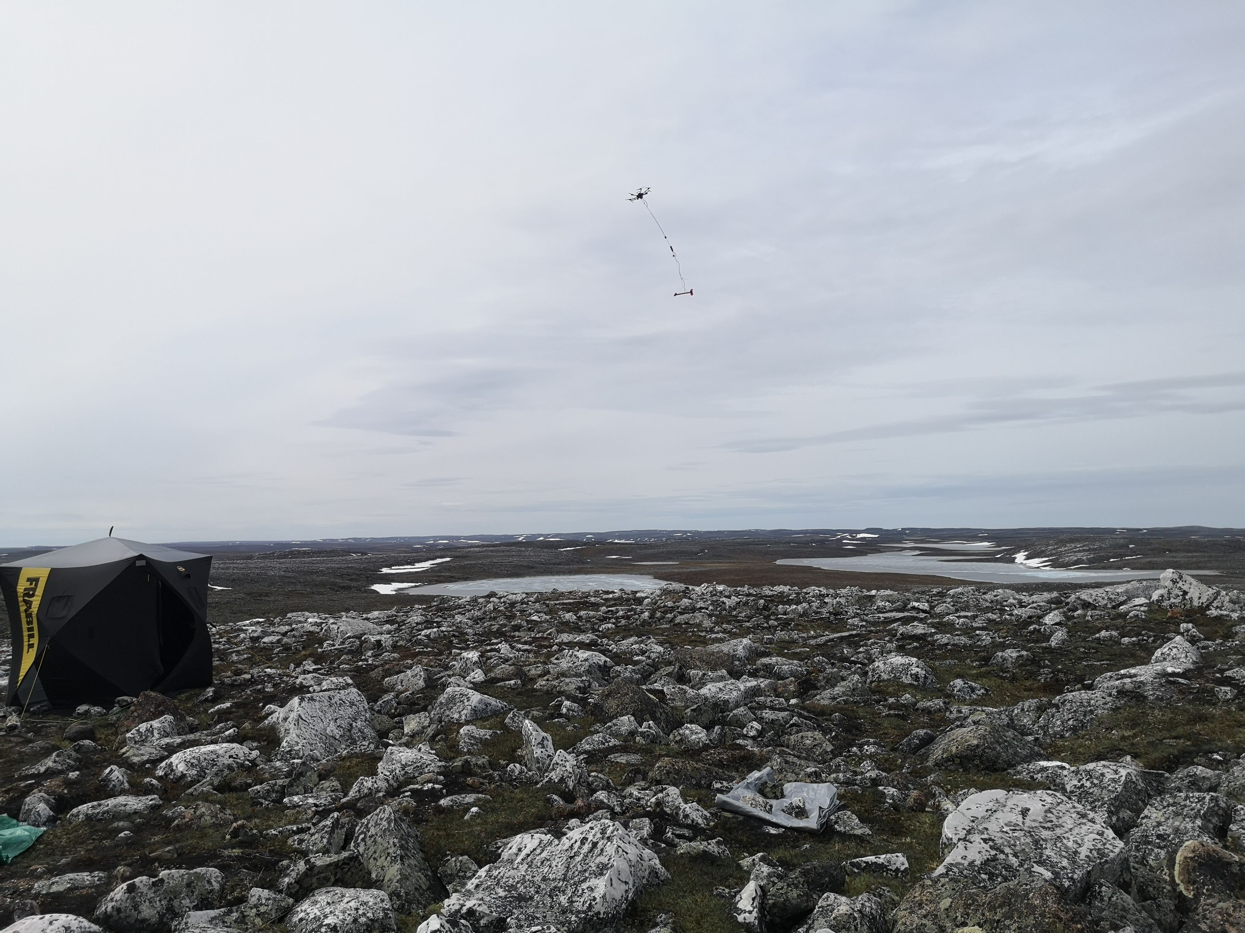
We use a cesium magnetometer for data of the highest quality. Due to the sensitivity of the instrument, the magnetic probe is attached 5 m below the aerial vehicle. The separation distance is crucial to ensure that vehicle noise does not contaminate the data. Prior to any work, we will obtain all Transport Canada certifications and authorizations to complete work that meets or exceeds all legal requirements.Our partner has worked across Canada with major mining companies and is praised for their safety and efficiency thanks to qualified personnel. The operators are certified pilots. With our operations manager, we can ensure that the entire survey is done safely and efficiently.
The active real-time altitude control and collision avoidance unique to AIM LOW ™ makes it possible for the measurements to be acquired as close as 3 meters from the treetops, much lower than any competing technology in similar conditions. The level of details that can be obtained by flying as low greatly surpasses what is typically delivered with helicopter surveys.